Xamfrà › Gallery
Gallery
Captures of the viewer with the new 3D engine (11 October 2026), in light and dark theme. Each image opens at full size. Below, the captures of 3 October 2026 with the previous engine.
3D engine · 11 Oct 2026
At dusk, with data
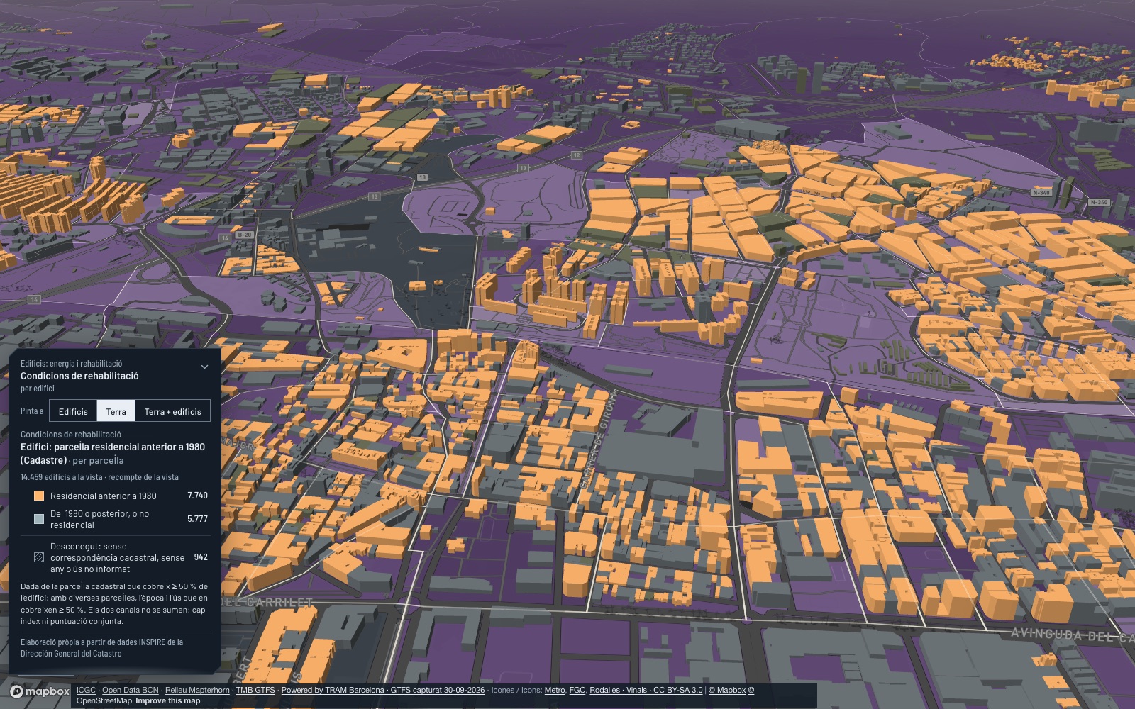
L’Hospitalet: residential buildings from before 1980 according to the Cadastre, in orange; on the ground, each section’s energy-poverty criteria.
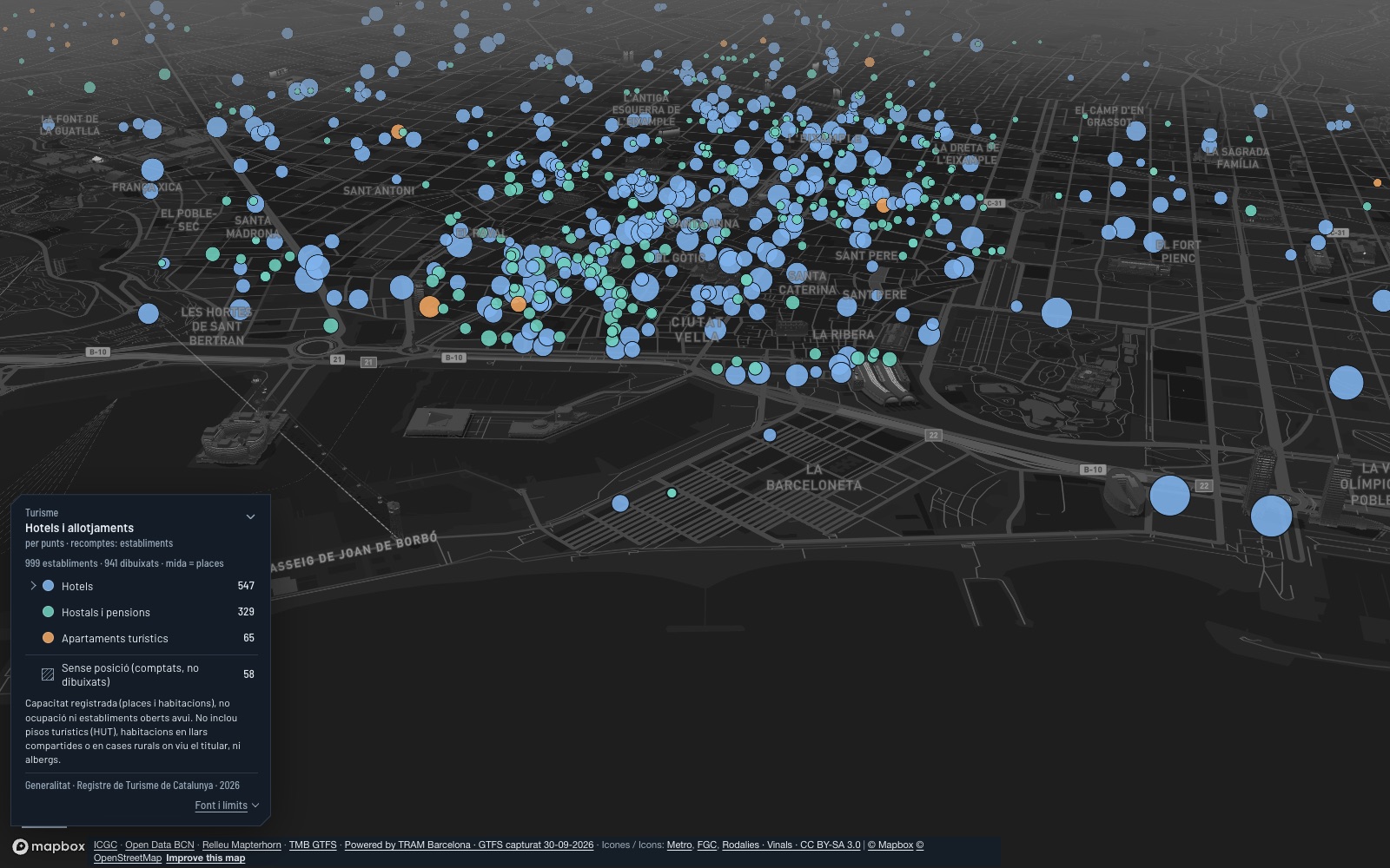
Port Vell and Barceloneta: hotels, hostels and tourist apartments, sized by their places.
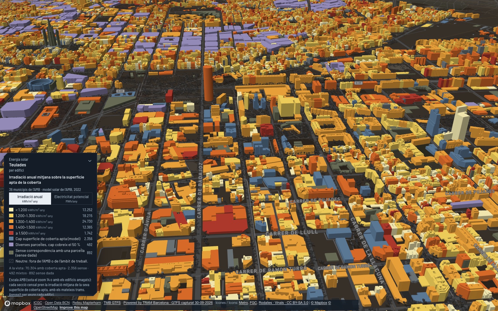
Poblenou: average yearly irradiation on the suitable surface of each roof, from the AMB solar model.
Building by building
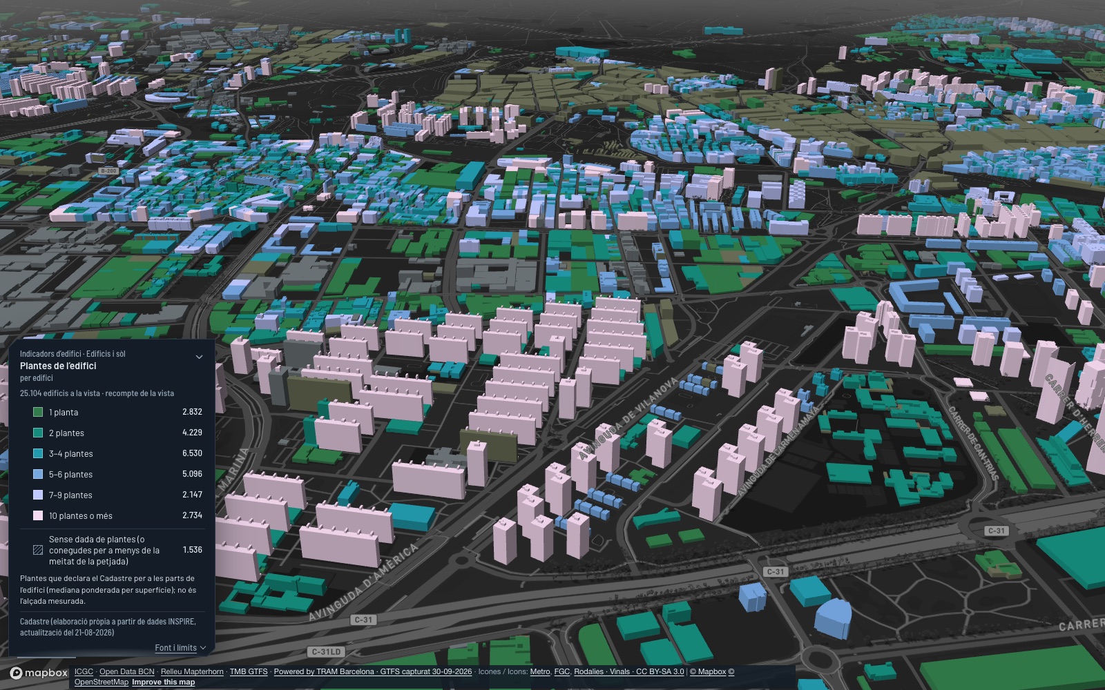
Bellvitge: how many floors each building has according to the Cadastre; blocks of ten floors or more in pink.
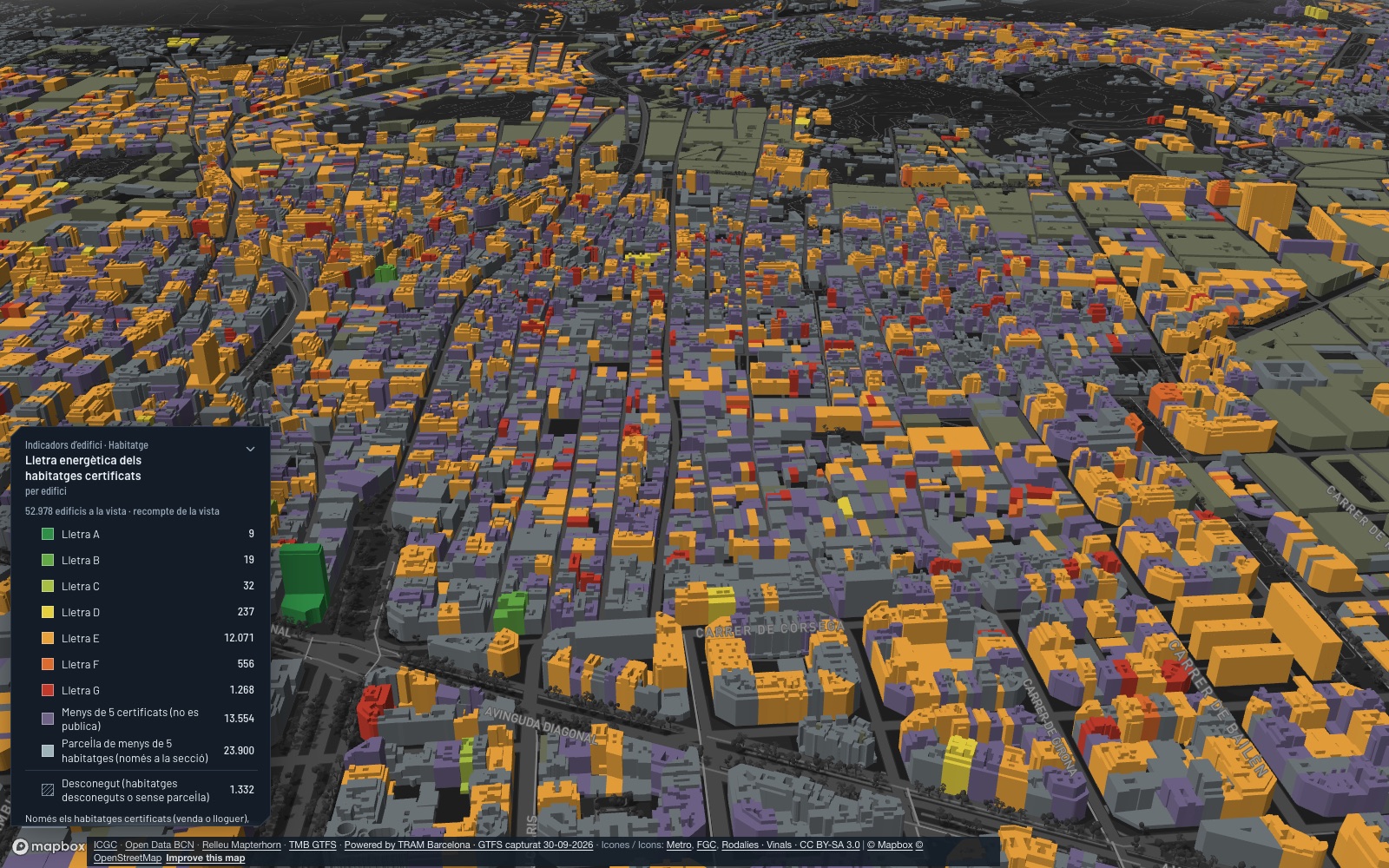
Gràcia: the rating that dominates each parcel’s energy certificates; with fewer than five, it is not published.
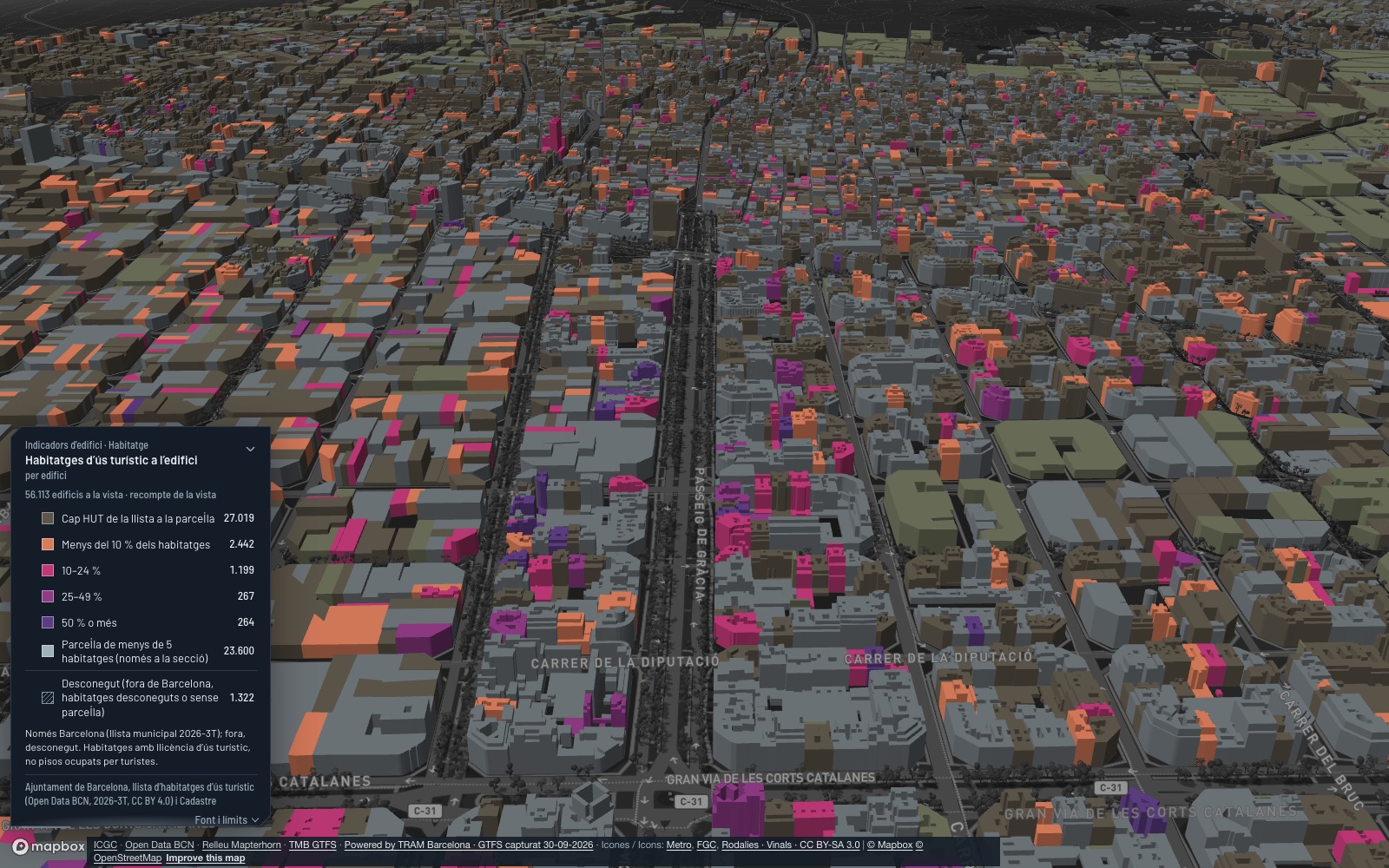
The Eixample: what share of each building’s dwellings are registered for tourist use.
Planning, land and risks
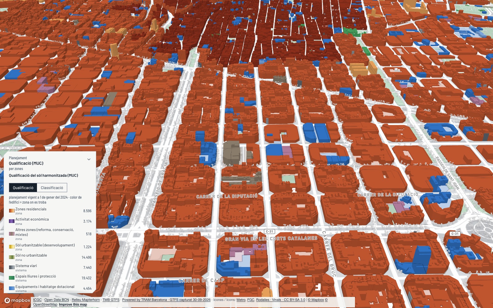
The Eixample: each building takes the zone or system of the AMB harmonised plan (MUC).
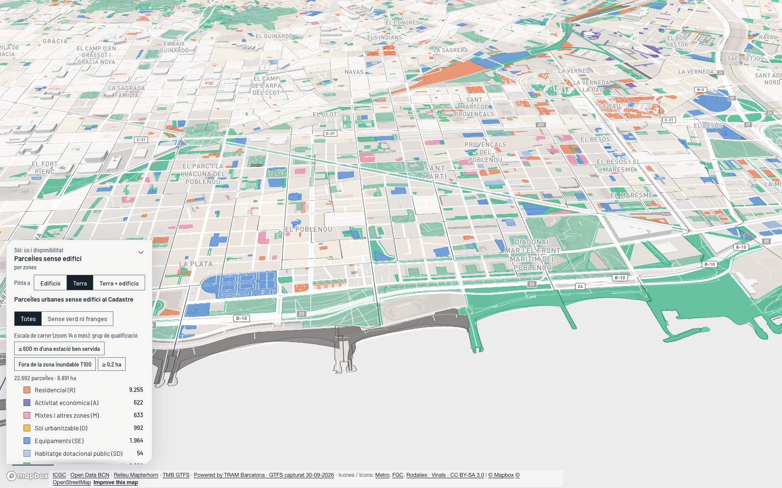
Poblenou and Besòs: urban parcels with no building in the Cadastre, by zoning group.
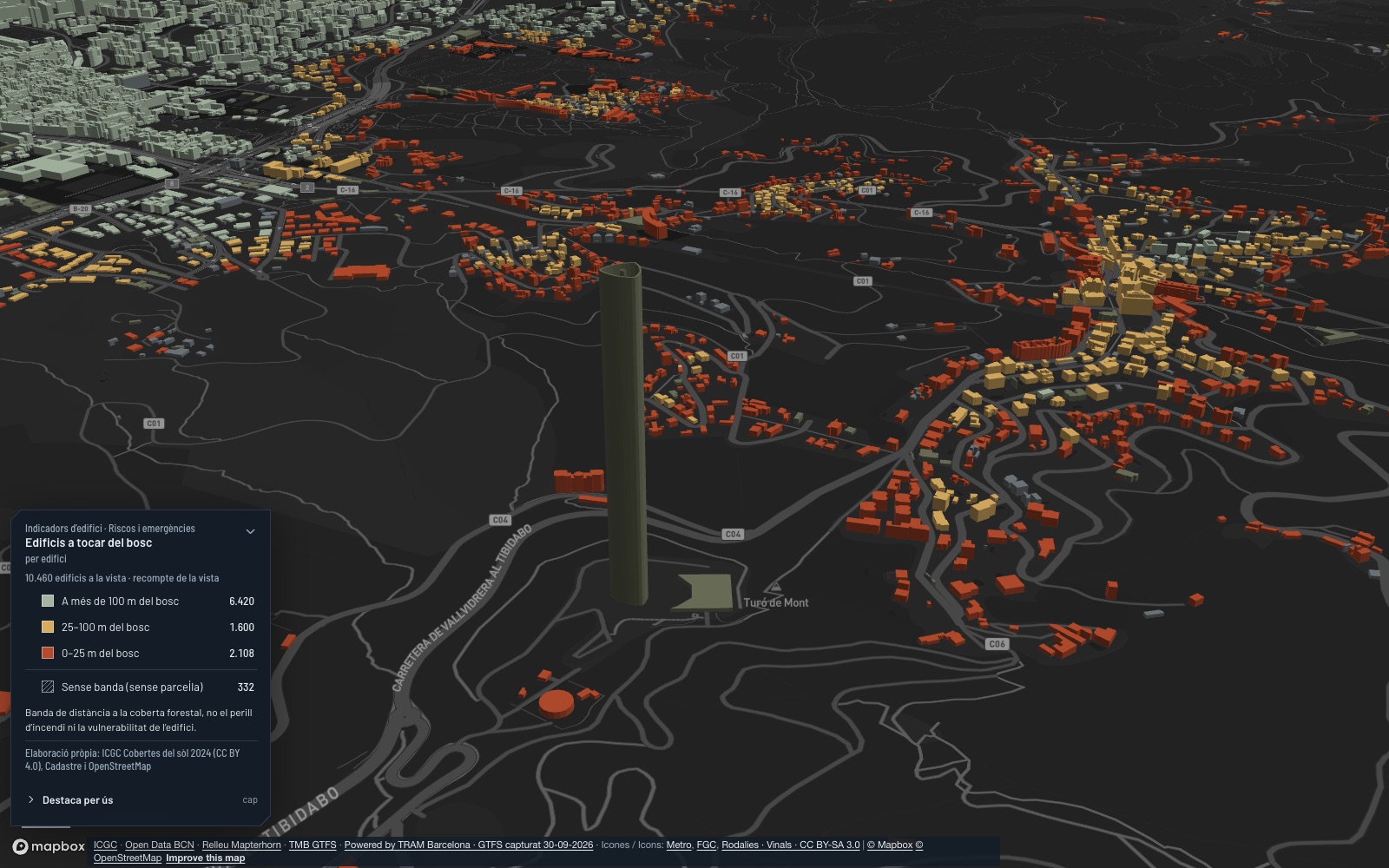
Vallvidrera and Collserola: buildings less than 100 metres from forest vegetation.
Mobility and underground
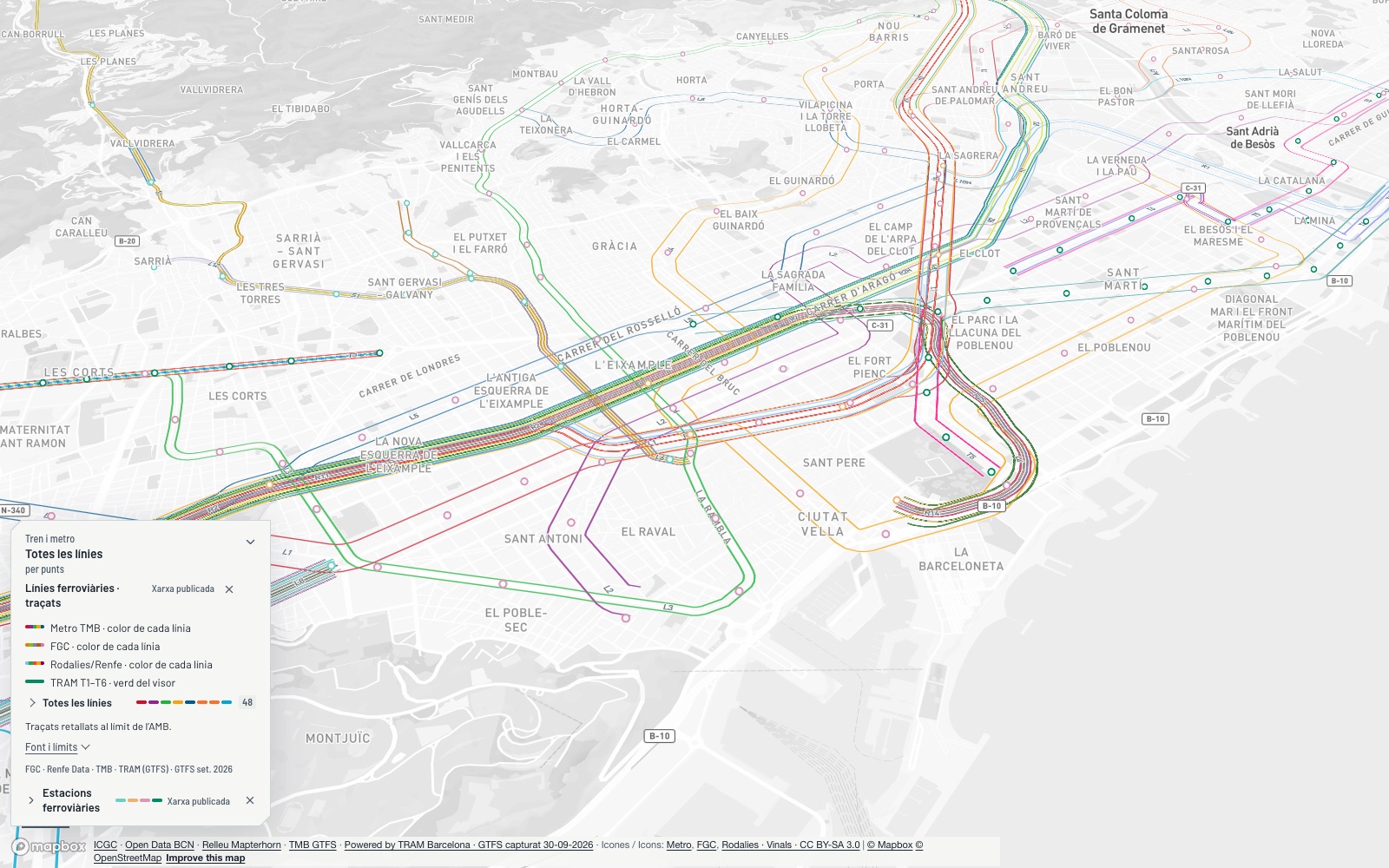
Metro, FGC, Rodalies and TRAM in each line’s colour, over the day map.
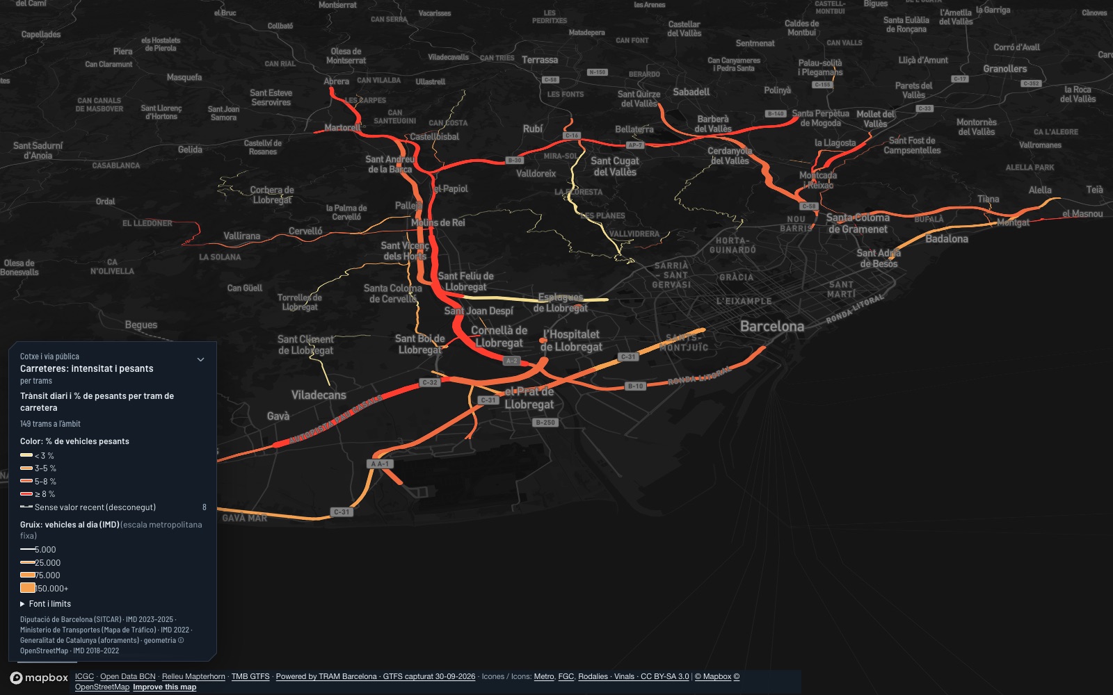
From the port to the Baix Llobregat: daily vehicles and share of heavy vehicles on each counted section.
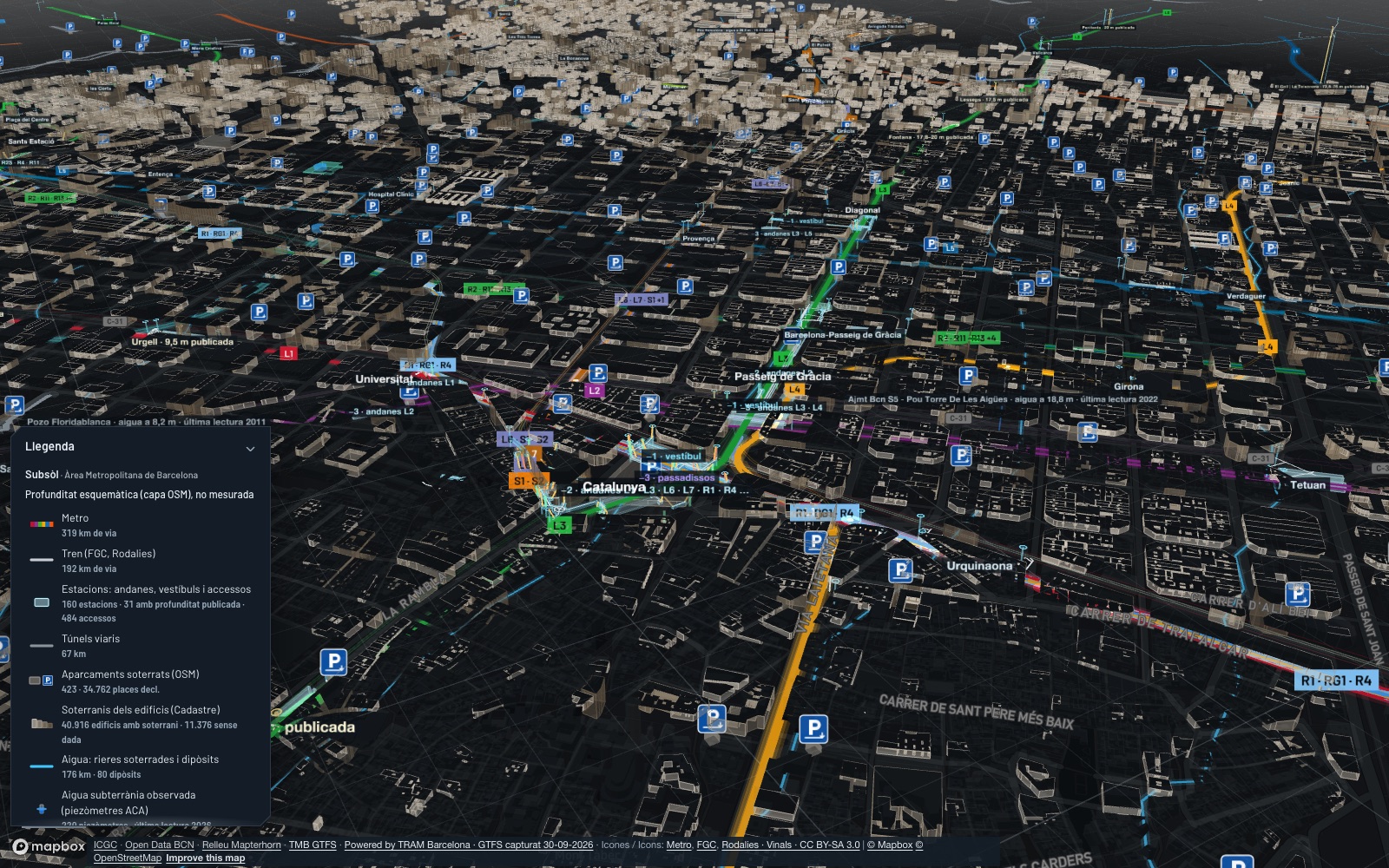
Plaça de Catalunya at night: metro, rail, stations, car parks and basements. Schematic depth.
Services and green, day and night
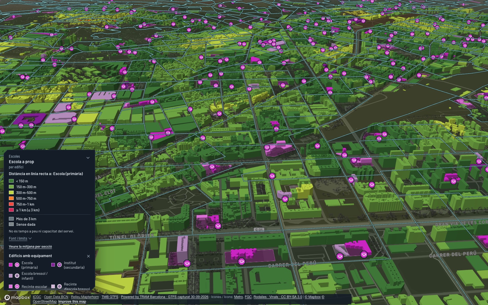
Sant Martí: each building from green to red by straight-line distance to the nearest primary school.
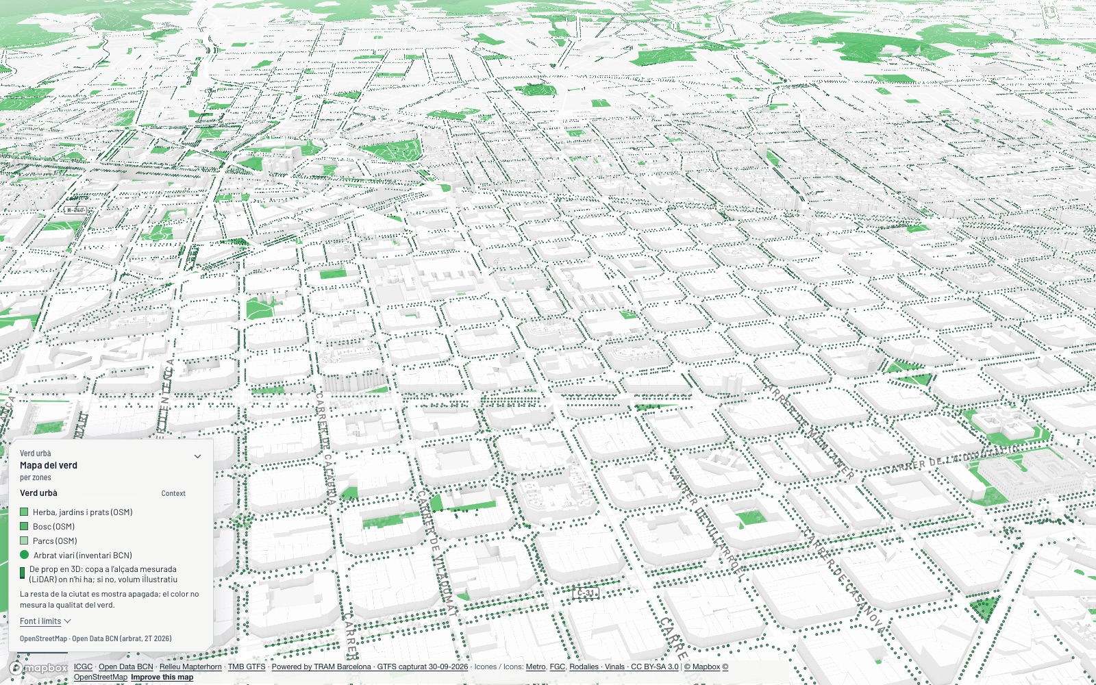
The Eixample by day: parks, gardens and street trees, with measured crowns.
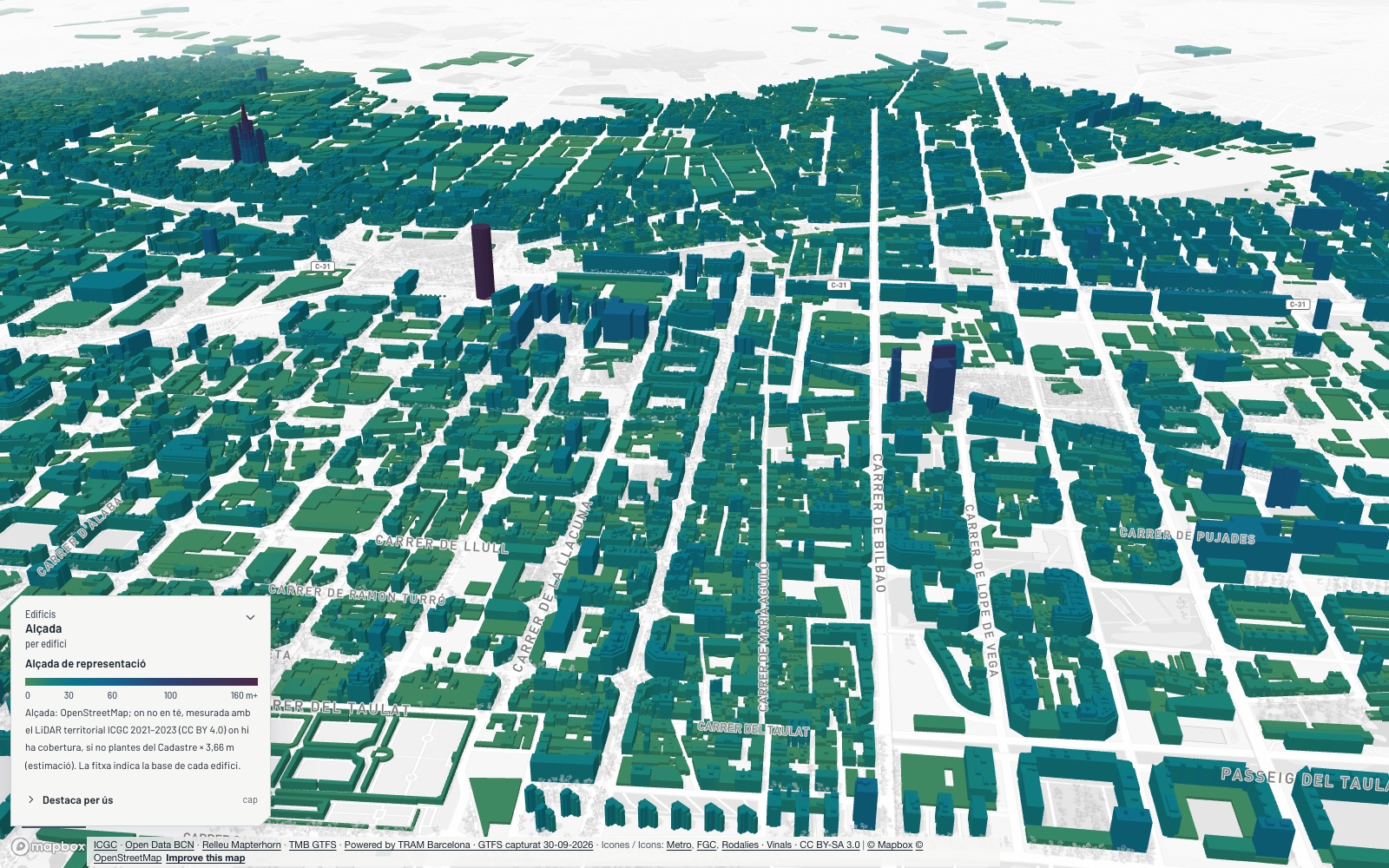
Poblenou and Diagonal Mar by day: the height of each building, from low to tallest.
Archive · previous engine, 3 Oct 2026
Mobility
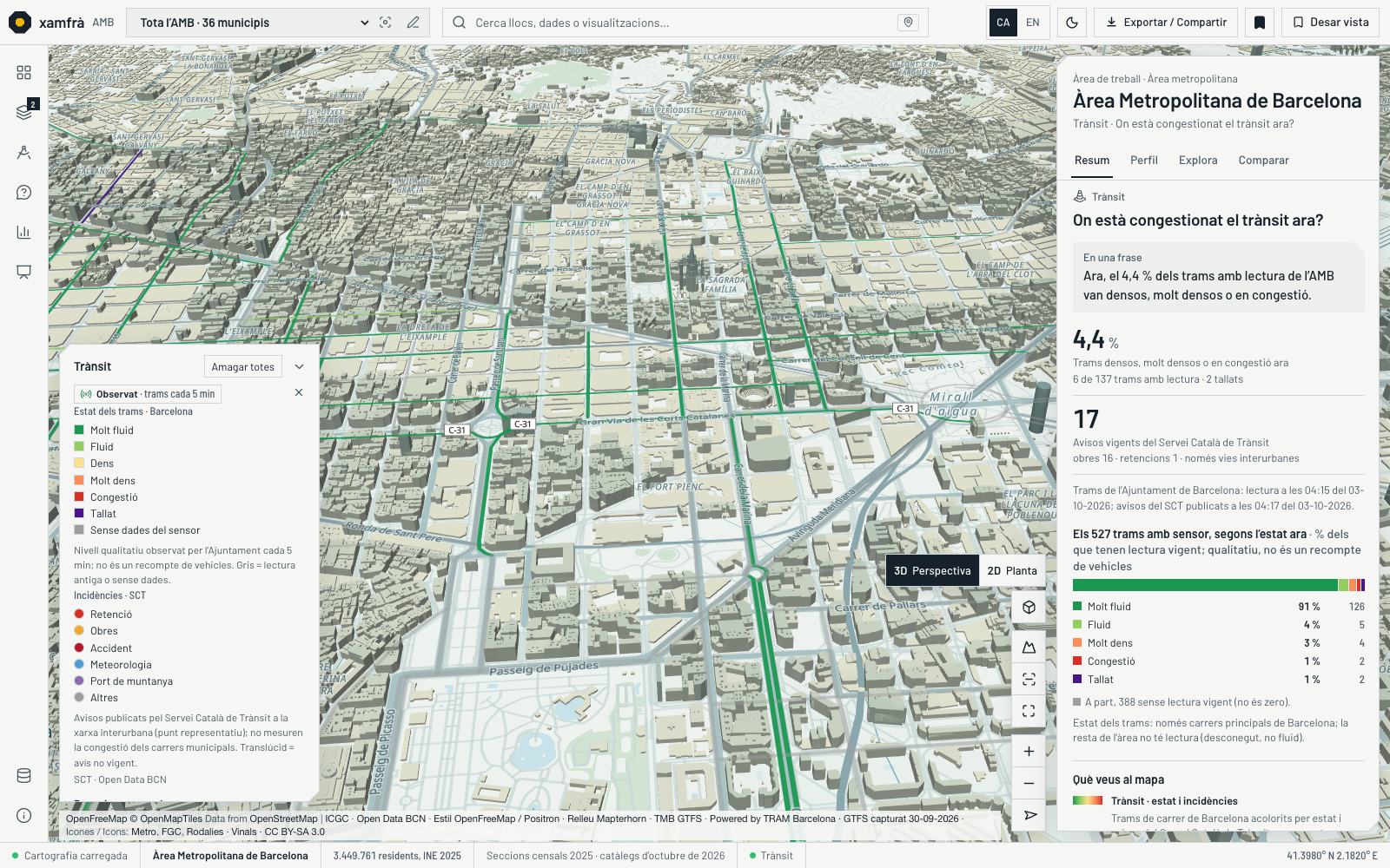
State of Barcelona’s segments every five minutes and incidents from the Servei Català de Trànsit. Qualitative level, not a vehicle count.
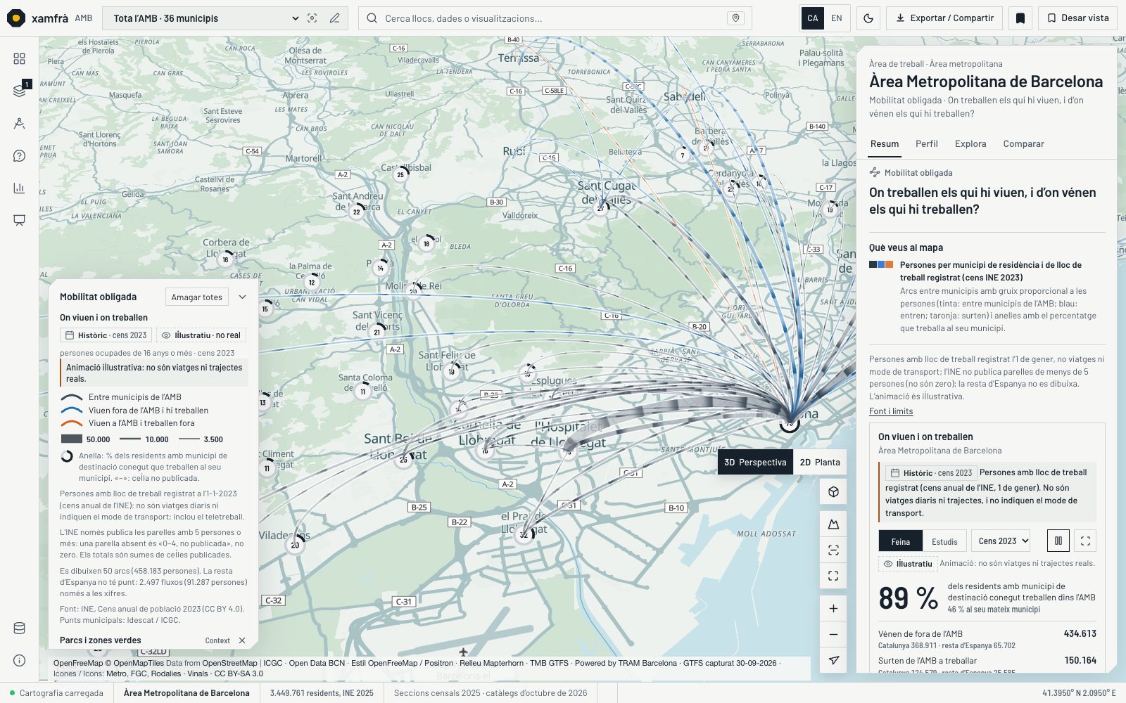
Where those who live in each municipality work and where those who work there come from, according to the 2023 census. These are people, not trips.
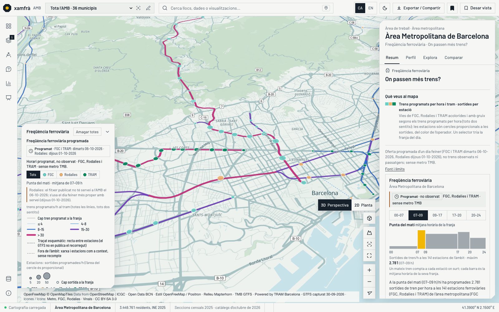
Scheduled trains per hour on each FGC, Rodalies, metro and TRAM segment.
Building data
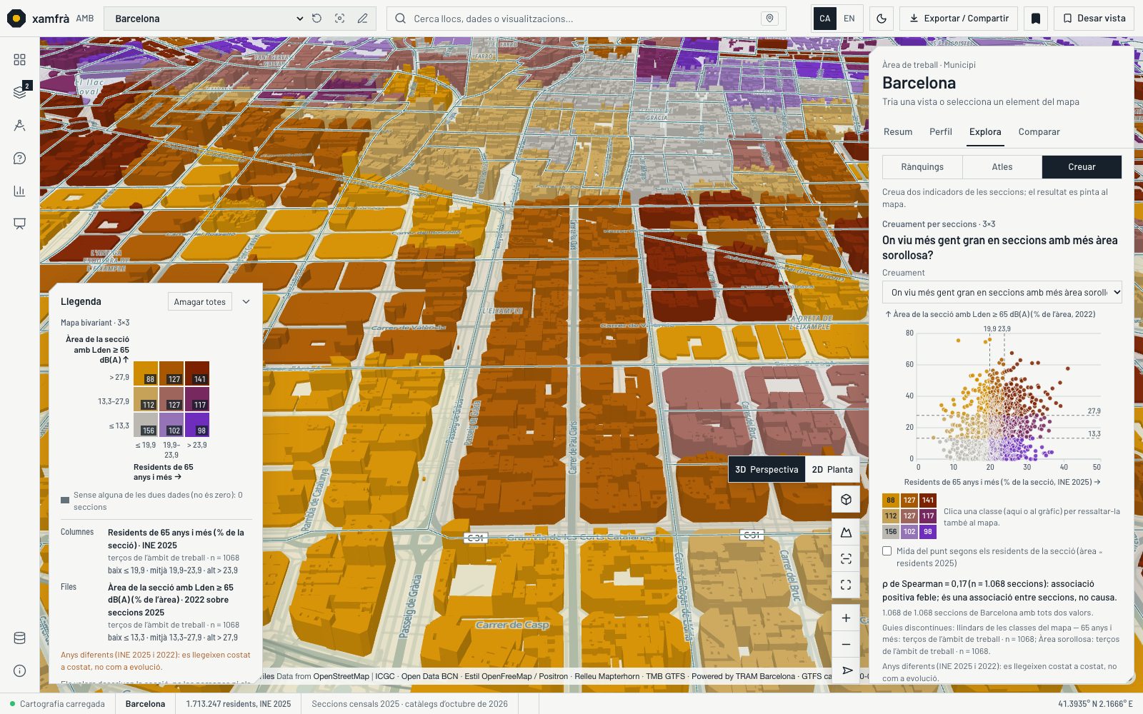
3×3 matrix on the buildings and scatter plot of Barcelona’s 1,068 sections; the panel says the association is weak.
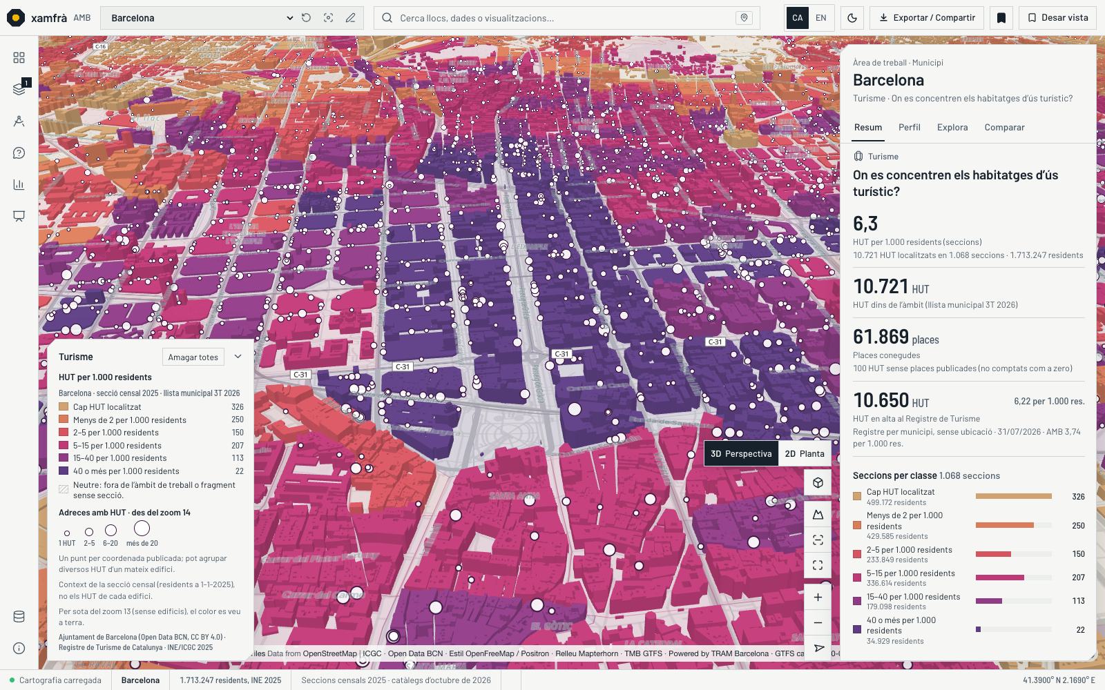
Tourist-use dwellings per 1,000 residents in each section of Barcelona, with one dot per address. Section context, not those of each building.
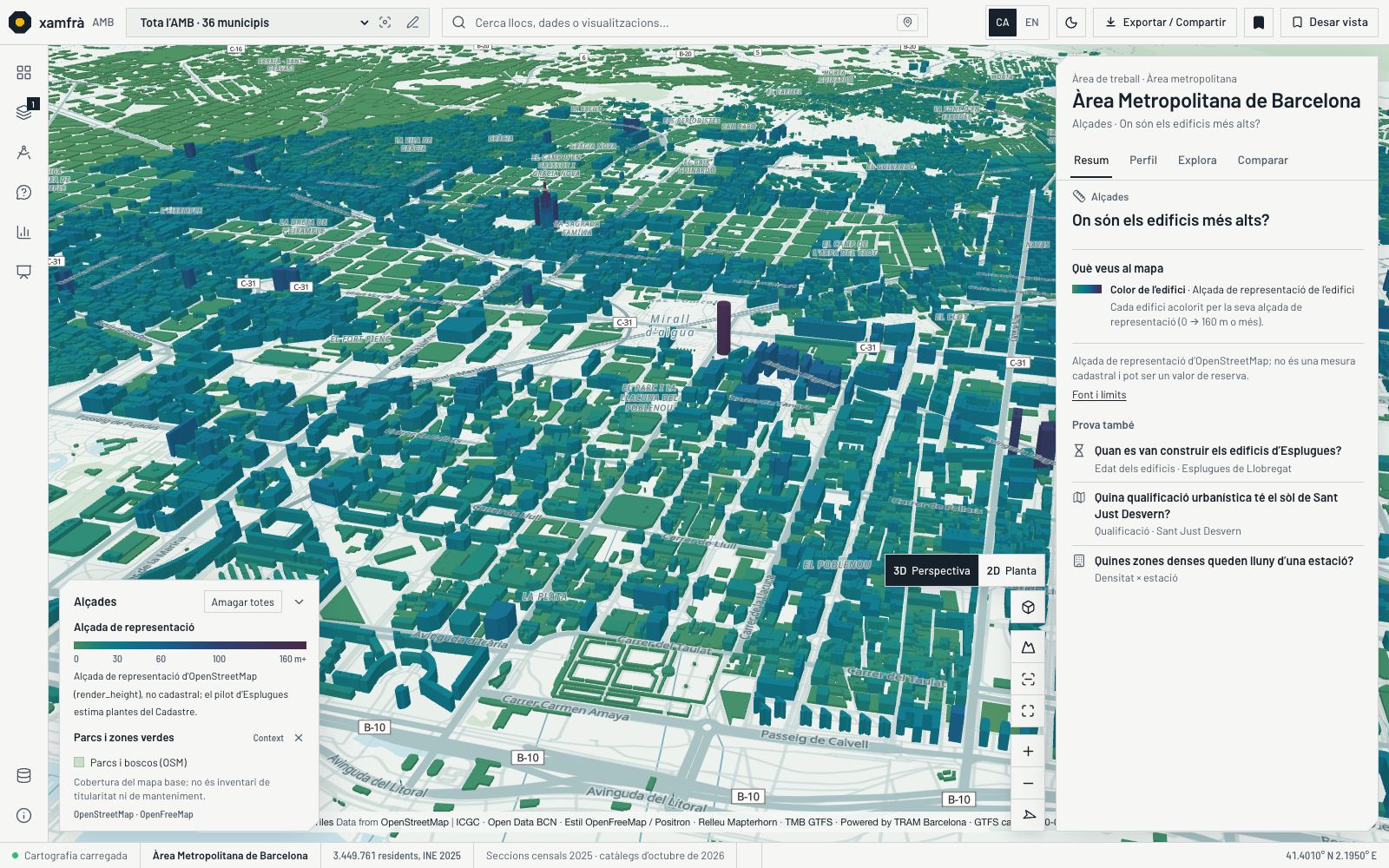
Each building coloured by its OpenStreetMap representation height, from 0 to over 160 m. It is not a cadastral measurement.
Services and surroundings
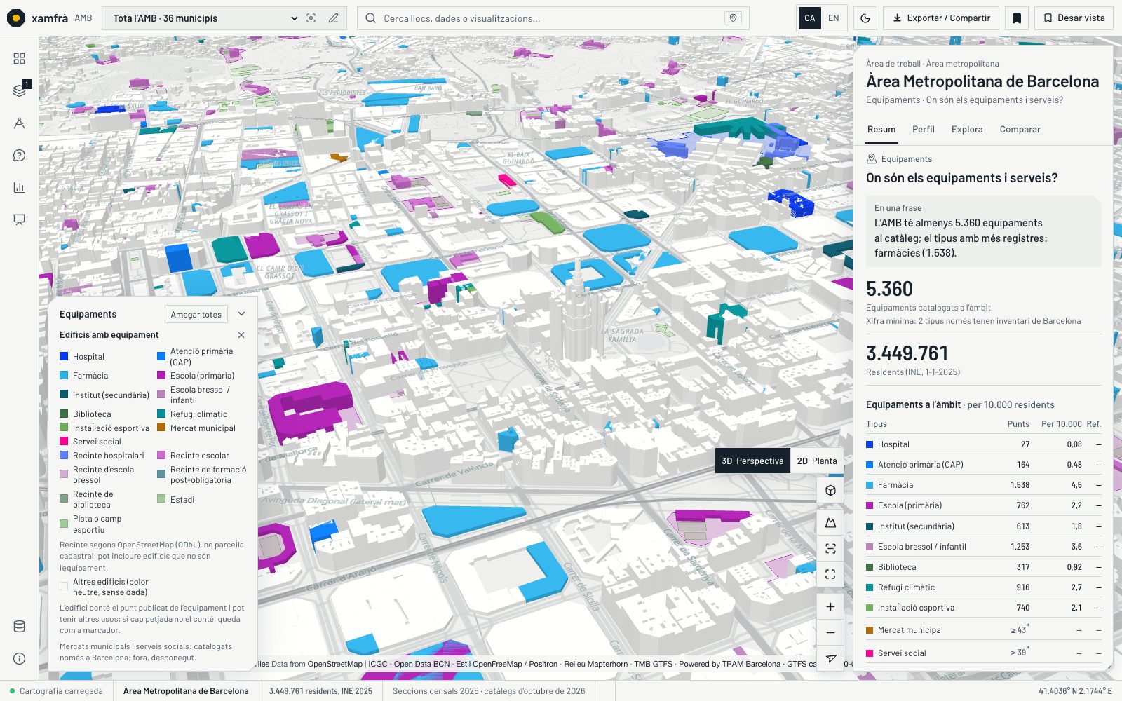
Schools, CAPs, pharmacies, libraries or shelters painted on the building that contains their published point, and their grounds.
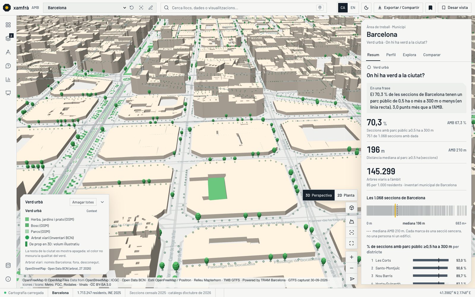
Street trees from Barcelona’s inventory in 3D, over a muted city. Indicative shapes by species group.
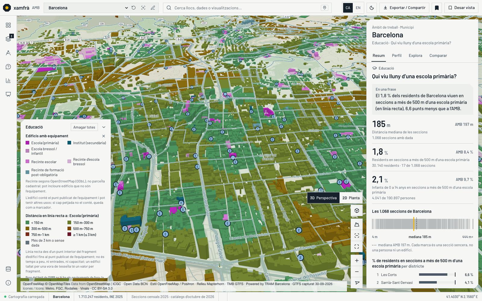
Distance from each building to the nearest primary school; schools and secondary schools painted on their own building.
Atlas and planning
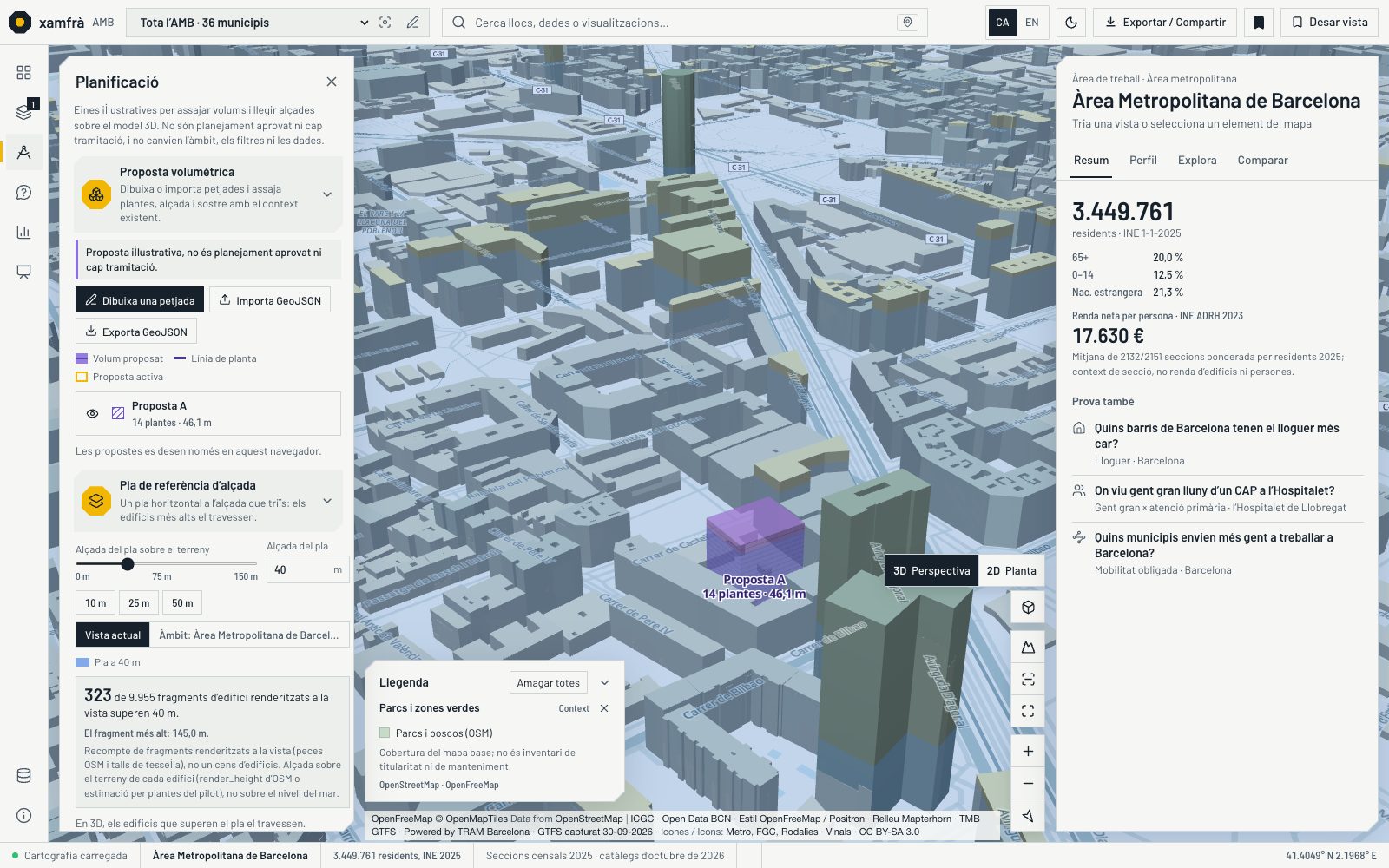
An illustrative 14-storey proposal in Poblenou and a plane at 40 m that the towers cross; the panel reminds that it is not approved planning.
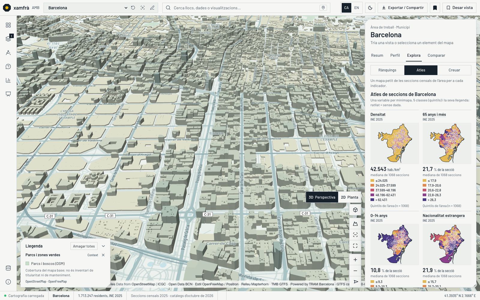
Small maps of Barcelona, each with its quintiles: density, older people, children, nationality, income and inequality.
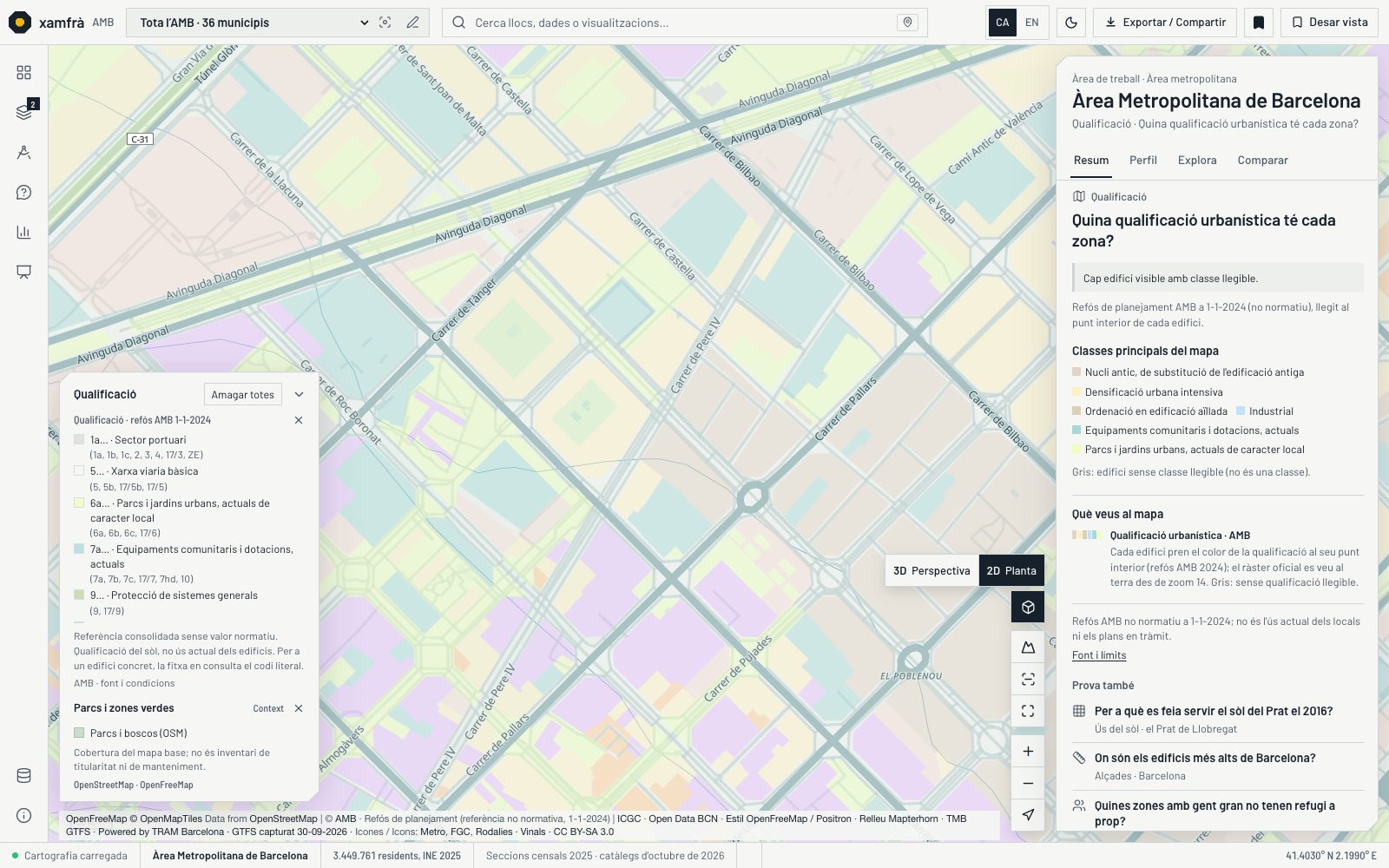
The AMB planning consolidated text at 1 January 2024 on the ground, without buildings. Non-normative reference.
Dark theme, for projection rooms
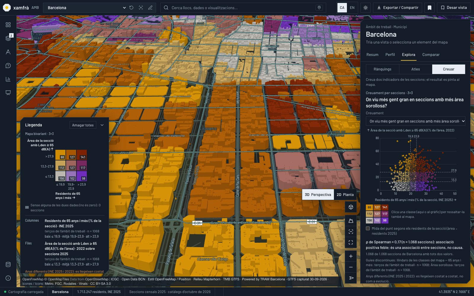
The same view in dark theme.
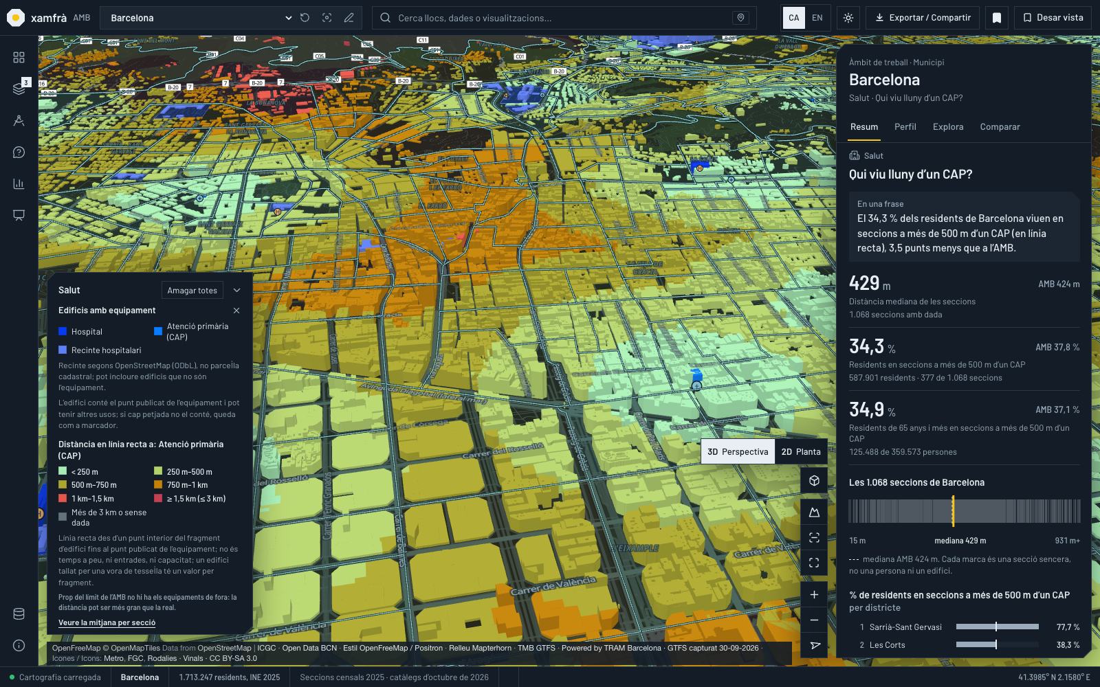
The Health view in dark theme, for projection rooms.
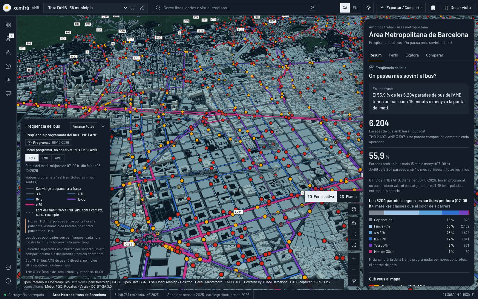
The bus view in dark theme.
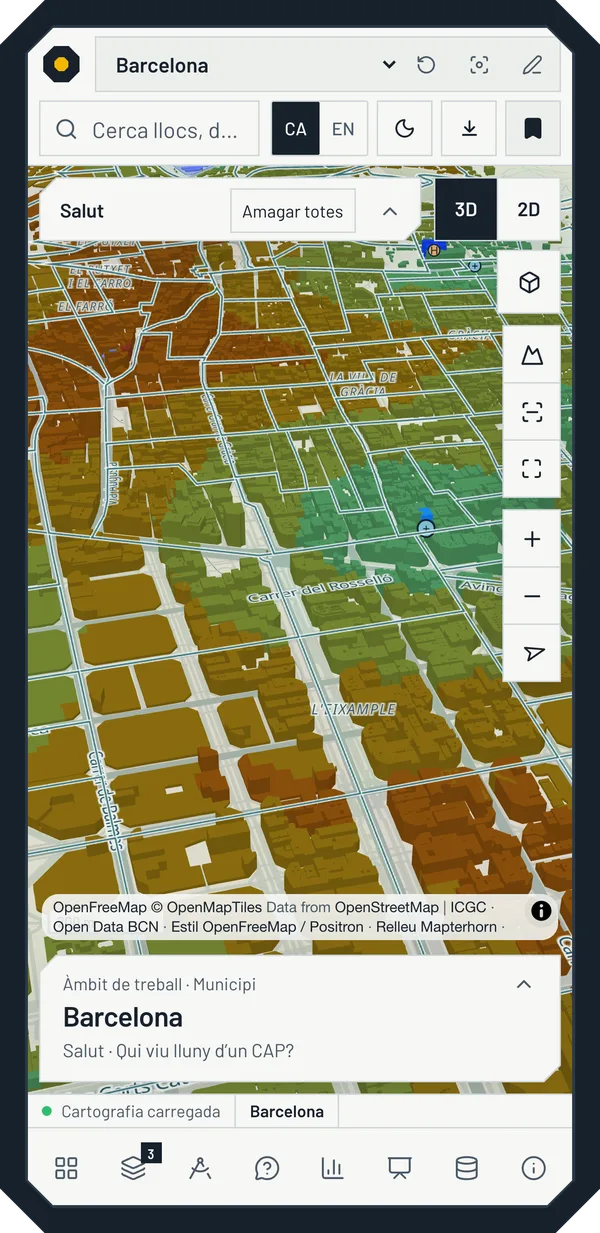
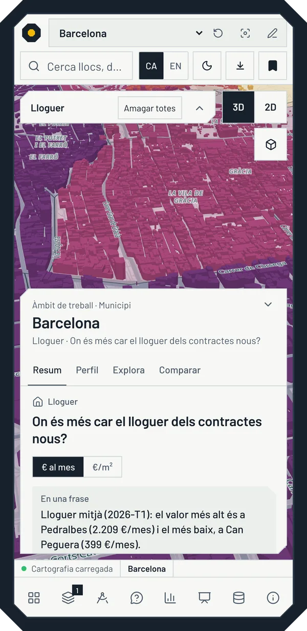
On mobile